 runwildmissoula.org >>
 |
| Sunset at Boulder Lake. Rattlesnake Wilderness, Montana. Photo: Amelia Hagen-Dillon |
Editor’s note: Amelia is co-owner of Cairn Cartographics, a company based in Missoula that makes beautiful, accurate, outdoor recreation maps for popular destinations in western Montana. They have maps of the Bob Marshall Wilderness, the Mission Range, the Rattlesnake and Missoula, and the Selway Bitterroot Wilderness. This series will highlight one of Amelia’s favorite trails from each of their maps and hopefully inspire some runners to get out and explore some new places.
by Amelia Hagen-Dillon
Until I decided to make a map of Missoula’s trail system, I was a total creature of habit as a runner. The only reason I ever mixed up my regular running route was when I moved to a new part of town. I’ve been like that since high school, and in college I ran variations of the same three to five mile loop hundreds of times. That changed in 2011 when my partner Jamie and I decided to make a new map and set out to GPS every trail in the Missoula area.
I’ve called myself a runner and loved running for more than ten years, but the experience of covering every inch of Missoula’s trail system made me fall in love with running all over again. I spent several weeks in the fall of 2011 heading out the door every day with a waterbottle and a GPS unsure of how far I would end up going or how fast I was moving. I got lost a lot (especially at Blue Mountain, I still do…) and I found so many new favorite spots. I’m happy to say I haven’t completely fallen back into my old routines, and I try to run a route that I’ve never run before at least once every few weeks. In case you are stuck in the same kind of rut I once found myself in, I thought I would profile some trails that are a little off the beaten path.
Boulder Lake to Rattlesnake Corridor Loop from Gold Creek Trailhead – 18 Miles – 3000 Feet Gain
Getting there
The West Fork of Gold Creek Trailhead is 17 miles off of Highway 200 northeast of Missoula. The road is well-signed and in fairly good condition but a higher clearance vehicle makes it easier and the last few miles can be kind of slow going- give yourself an hour to get to the trailhead from Missoula.
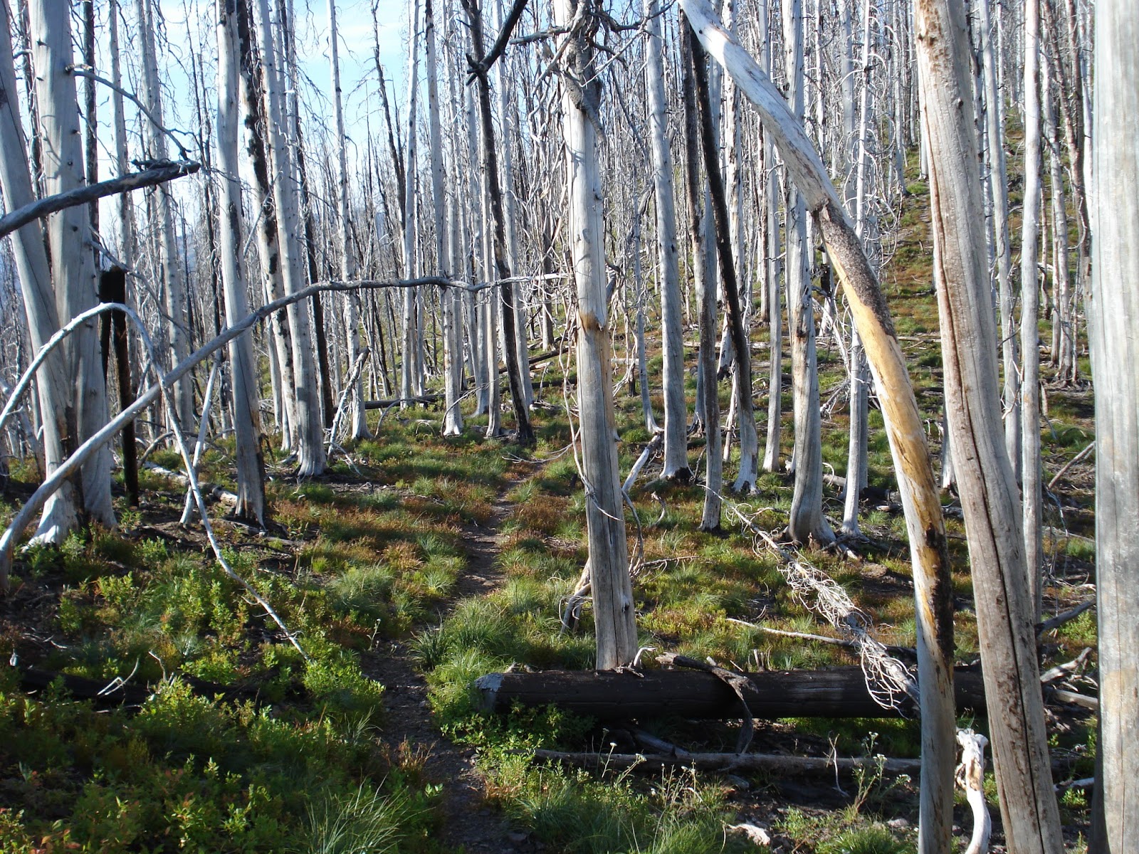 |
| Burn on 504. Photo: Amelia Hagen-Dillon |
The Route
From the trailhead you can go two directions. Trail 333 heads north through rolling terrain through some old logging units. It climbs gradually and crosses old logging roads a few times so you have to pay attention to make sure you stay on the trail. A couple miles up the trail, shortly before the Wilderness boundary there is a junction with trail number 518 which leads north and east to Gold Creek Meadows and an old cabin and eventually another trailhead. If you stay left on trail 333 the trail continues two and a half more miles to where it crests a ridge overlooking Boulder Lake. There is a short side trail up to a high point where there used to be a lookout over the lake and another one-mile long side-trail that drops about five hundred feet down to the lake.
 |
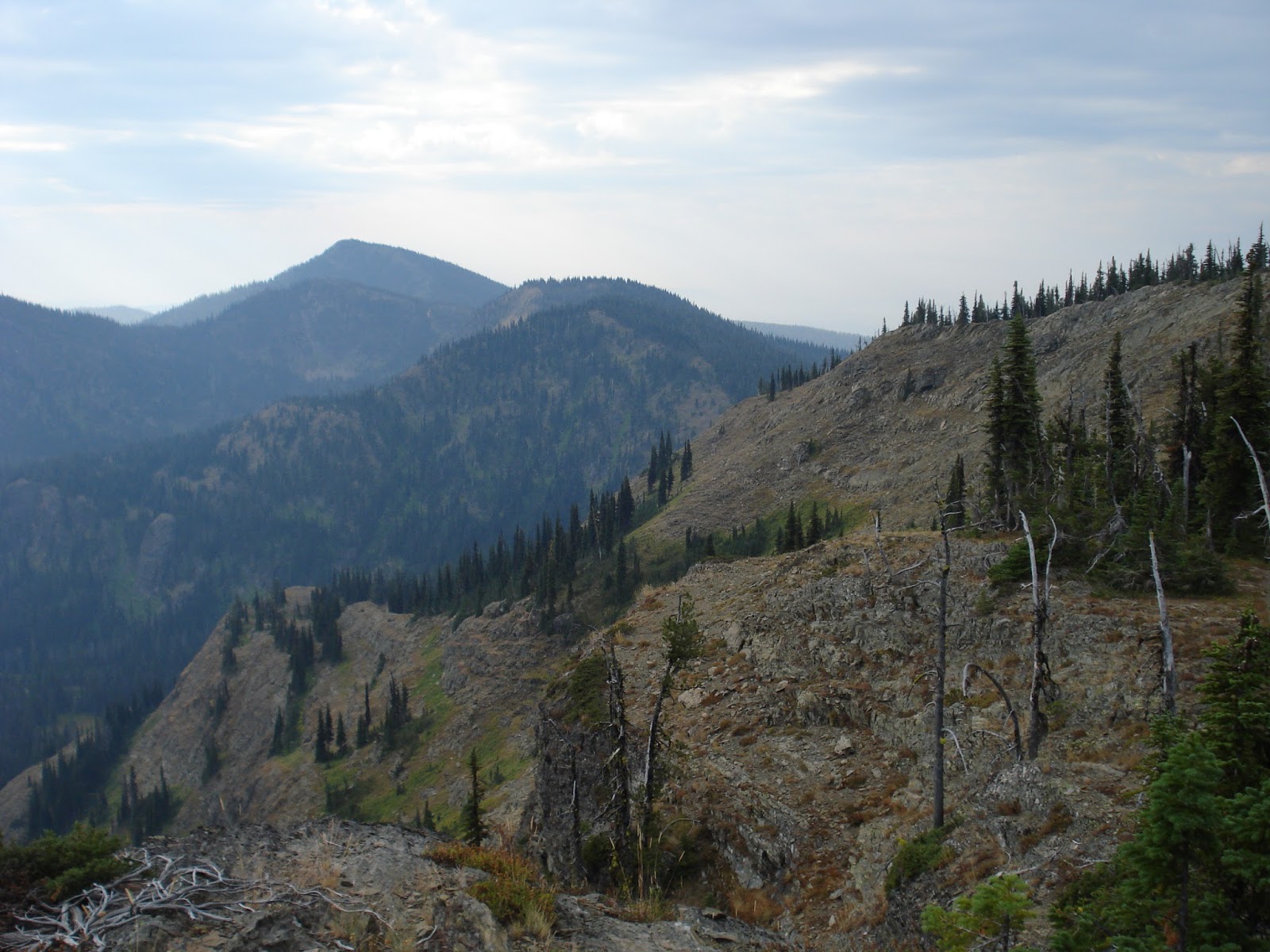
| Ridge overlooking Boulder Lake. Photo: Amelia Hagen-Dillon |
A run to Boulder Lake and back would be a fun 10ish mile out and back. But if you want to make a longer loop, continue along the ridge past the lake. Half a mile down the trail there is an old spur trail that heads up the ridge, don’t take that. Instead head back south down towards the Rattlesnake corridor. After a three and a half mile descent, you will hit the main Rattlesnake corridor trail–which is actually a road. If you keep heading downhill and south on the road for two miles there is another single track trail heading back up off the corridor on your left. The first part is a steep, switchbacking climb up off the creek bottom but then it levels out and winds through some marshy areas before a short climb back to the trailhead.
 |
| Rattlesnake ridges. Photo: Amelia Hagen-Dillon |
In total this loop is about eighteen miles and about three thousand feet of climbing with the option of a little more by adding an out and back down to Boulder Lake. There are a lot of shorter out and back options from the West fork of Gold Creek trailhead as well as hundreds of miles of double track roads to explore.
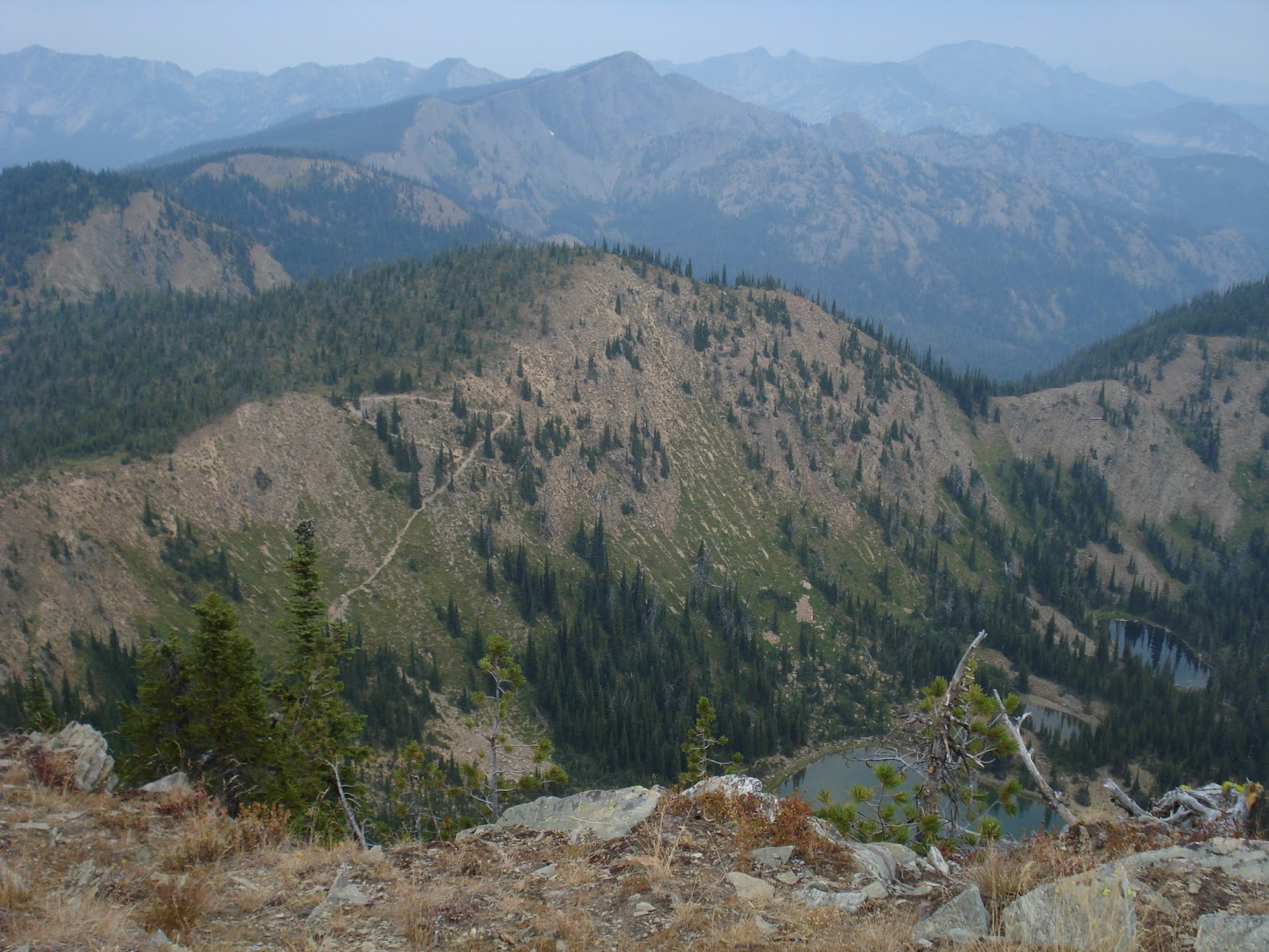 |
| Stuart Peak view. Photo: Amelia Hagen-Dillon |
All the trails and roads mentioned can be found on Cairn Cartographics’ Rattlesnake Wilderness and Missoula map which is sold at most outdoor retailers in Missoula including The Runner’s Edge and the Trail Head as well as online at CairnCarto.com. Mileage and elevations described are estimates- please be careful and familiarize yourself with a map and how to read it before you go- the Gold Creek area is notoriously confusing!